|
Welcome to Woostah! A Worcesterite townie born and bred i am. Here is some basic information about the second-largest city
in New-England...
-Population: Approximately 169,000
-Area: 38.5 sq. miles
-Distance From Boston: 45 miles
-Driving Time To Boston: 50 minutes
-Government: Council/City Manager
-Honors: Worcester is the only city in
the country to be a four-time recipient of the All American City Award
-Public Transportation: Worcester Municipal Airport,
AMTRAK and Worcester Regional Transit Authority (bus).
-Nicknames: Heart of the Commonwealth, Wormtown, The City of
Seven Hills
-The Seven Hills: Belmont Hill (Bell Hill), Green Hill, Vernon Hill, Grafton Hill, Airport Hill , Bancroft
Hill, Pakachoag Hill

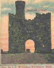
The view from Bancroft Tower at Night
I'll be taking a more recent one soon so I can put it up...
|
 |
|
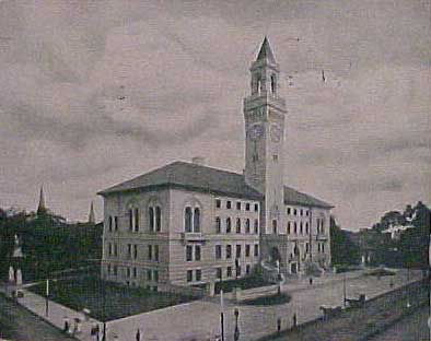
City Hall

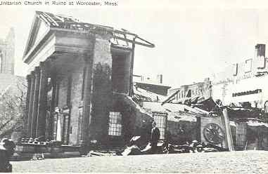
June 9, 1953 Worcester County, Massachusetts
A tornado traveled a 46-mile path, killing 90, injuring 1,288, and leaving
10,000 homeless. Winds estimated at 250 mph. 20th deadliest tornado in US history. (The deadliest was in 1925, 689 deaths).
A low pressure system, responsible for producing severe thunderstorms in Michigan and Ohio the previous day, brought
severe weather to New Hampshire and central Massachusetts. The tornado, up to a mile in width at times, tracked 46 miles through
Worcester County. It mangled steel towers built to withstand winds of 375 mph. Debris from the tornado fell in the Boston
area, and adjacent Atlantic Ocea. (David Ludlum) (The Weather Channel)
|
|
|
|

This is Quinsigamond Community College when it was Assumption College(1904-1953). It became QCC after the 1953 tornado...
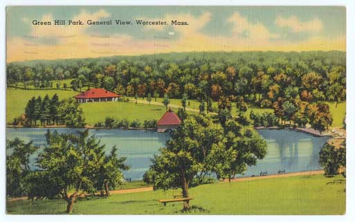
This is Green Hill Park c.1899/1900
Hurricane of 1938
I wish i had more info about it all i know that it was devastating...
this is the Unitarian
Church on Main St in ruins...
|
|
|
|
|